-
Product: Atlas of Existing and Future Place Types; Microscale Analysis; Form-Based Zones for Corridors + Neighborhoods; Updated Zoning Map
-
Size
Columbus, OH, Citywide
-
Community Engagement
Robust education and listening sessions with the Advisory Committee, City Staff, and community members.
Columbus Citywide Zoning Code Update
Columbus, OH
The City of Columbus, Ohio selected a multi-disciplinary team to complete a comprehensive update of the City’s 70-year-old zoning code to align with their housing and transportation goals. Following a 2021 code assessment by Lisa Wise Consulting and Opticos, Phase One (ongoing) focuses on the City’s mixed-use corridors. Phase Two will address residential zoning for the City’s neighborhoods. Opticos developed a framework of place types, which included a detailed analysis of existing physical conditions, consideration of the underlying zoning and pattern of variances, and a study of policy direction from over 30 area plans to establish six new mixed-use zoning districts that consider varying desired degrees of change. The palette of zones leverages the development capacity along transit routes and neighborhood main streets with predictable standards to support equitable economic vibrancy, enable affordable housing options, and streamline administrative procedures.

- Modernize our zoning code to reflect our community’s current and future needs, values and aspirations.
- Support growth that prioritizes environmental and economic sustainability through improved transit, additional housing opportunities and the creation of job centers.
- Encourage thoughtful investment in neighborhoods that have experienced racial and economic segregation and help undo the harm caused by past urban development policies.
- Guide the design and development of main streets, neighborhoods and activity centers to support community goals while celebrating the unique character of our neighborhoods and creating a sense of place for residents.
- Ensure the Columbus zoning code is fair, understandable and accessible.
A Place Type Approach to Zoning

Testing Standards for Compatibility and Feasibility
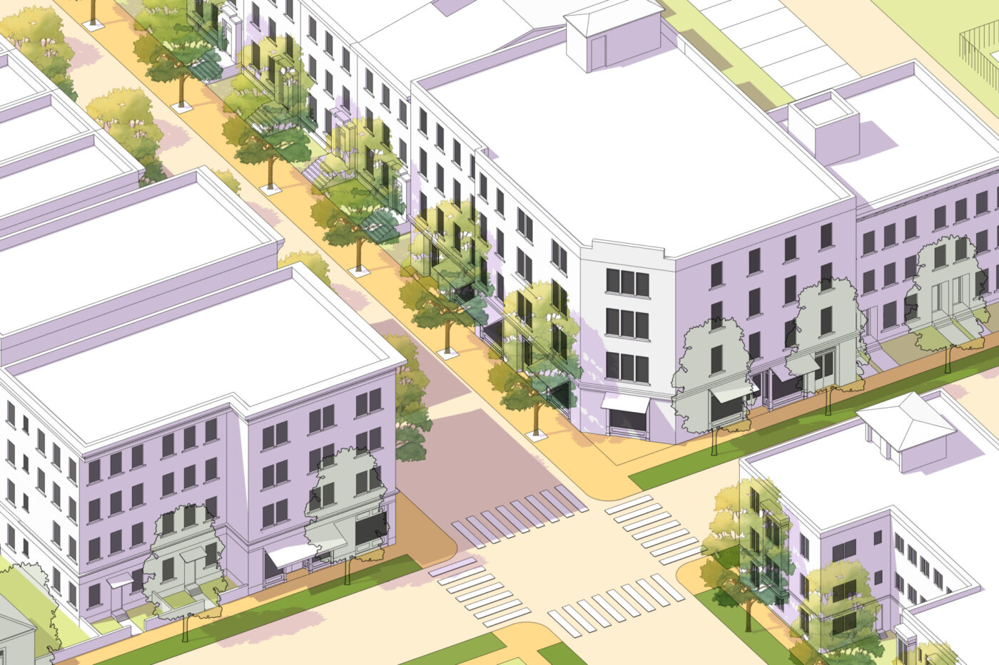
Zone standards were tested on both small and large sites to understand the impact of the proposed Building Form standards. Existing built examples throughout the City were carefully studied to calibrate Frontage types and Massing and Articulation standards. Balancing flexibility and design control was the main focus of the iterative process with City Staff and key stakeholders.
Defining Place Types
Columbus does not have a comprehensive future land use map to direct future zoning, therefore, Opticos used a Place Type approach that cataloged existing lot sizes through GIS, studied existing building form, and compiled the future land use direction from over 30 area plans as well as recent transit planning efforts. Opticos used this analysis to define and map a spectrum of auto-oriented to urban places that informed the zoning designations.

Ensuring the Pedestrian Experience


